Lake · Ontario, Canada
Kasshabog Lake Surveyed
Open in the Studio$5 one time, or part of a plan. The preview is free.
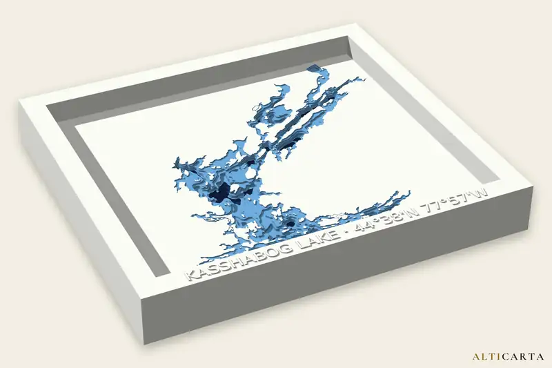
Terrain and water depth files of Kasshabog Lake, from real water depths. Depth survey from Ontario Ministry of Natural Resources, Land Information Ontario. Turn it and size it in the Studio, then download the files your machine uses.
Deepest point
24.4 m (80 ft)
Surface area
9.57 km² (3.69 sq mi)
Depth levels
9
Where
44.63918° N, 77.94986° W
What your machine gets
- 3D printerSTL, OBJ and 3MF with painted color, stepped like a chart or smooth
- CNC router8 and 16-bit heightmaps, STL and OBJ, its depth levels as flat drawings to carve one at a time, and the frame text to V-carve
- LaserSVG and DXF sheets that stack, up to 10, with a LightBurn project and an assembly guide
- Craft cutterA cut file of up to 10 layers: SVG for Cricut, DXF for Silhouette, plus a stencil and an assembly guide
- UV printerA color picture and a raised texture picture that line up, at 300 dpi, with a blank to print
- FrameA raised frame with the name and coordinates embossed
Where the depths come from
Surveyed
Kasshabog Lake bathymetry: Contains information licensed under the Open Government Licence – Ontario.
https://ws.lioservices.lrc.gov.on.ca/arcgis2/rest/services/LIO_OPEN_DATA/LIO_Open01/MapServer
Depths are for display, not for navigation.
Near Kasshabog Lake
Lakes
- Jack LakeSurveyed · 50.0 m (164 ft) deep · about 9.0 km (5.6 mi) away
- Cordova LakeSurveyed · 12.2 m (40 ft) deep · about 12 km (8 mi) away
- Dummer LakeSurveyed · 9.1 m (30 ft) deep · about 17 km (11 mi) away
More lakes in Ontario
All Ontario lakes with a page here, or browse every place.