Lakes, ready for your machine
Pick a lake to see its model, its depth and where the depths come from, then open it in the Studio and download the files your machine uses. Surveyed lakes come from a real depth survey. Estimated lakes have a modeled lakebed, and say so.
Browse by place
Browse by machine
Browse by project
Most looked up
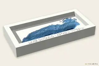 Lake OntarioGreat LakesSurveyed235.0 m (771 ft) deep
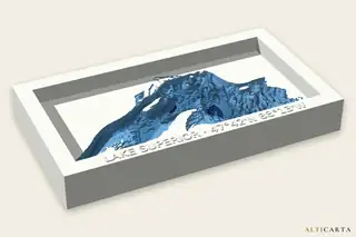 Lake SuperiorGreat LakesSurveyed380.0 m (1,247 ft) deep
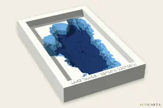 Lake TahoeCalifornia and NevadaSurveyed490.0 m (1,608 ft) deep
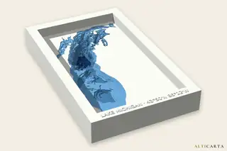 Lake MichiganGreat LakesSurveyed270.0 m (886 ft) deep
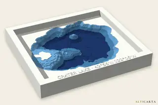 Crater LakeOregonSurveyed590.0 m (1,936 ft) deep
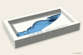 Lake ErieGreat LakesSurveyed62.0 m (203 ft) deep
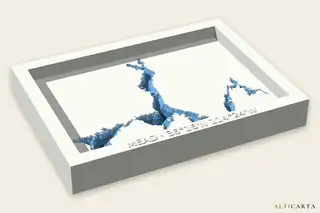 Lake MeadNevadaEstimated162.0 m (531 ft) deep
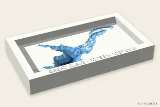 Great Slave LakeNorthwest TerritoriesEstimated614.0 m (2,014 ft) deep
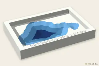 Lake PontchartrainLouisianaEstimated20.0 m (66 ft) deep
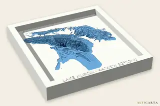 Lake HuronGreat LakesSurveyed220.0 m (722 ft) deep
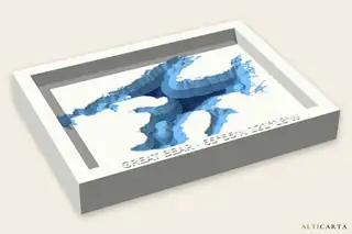 Great Bear LakeNorthwest TerritoriesEstimated446.0 m (1,463 ft) deep
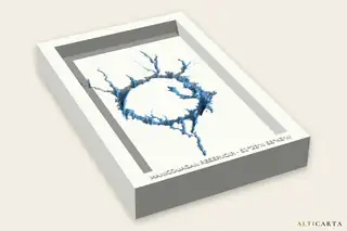 Manicouagan ReservoirQuebecEstimated350.0 m (1,148 ft) deep
Looking for another lake? Search any lake in the Studio.