Lake models for the classroom and the museum
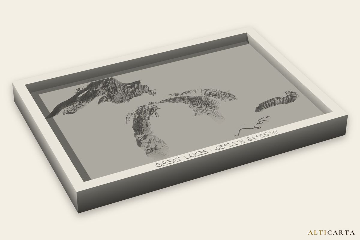
A depth chart is hard to read. A lake you can run your thumb across is not. We make the files from named sources and say plainly which lakebeds are surveyed and which are estimated.
What it is good for
- Comparing lakesShared Depth puts a lake group on one depth scale: Muskoka Lakes, Kawartha Lakes or the Great Lakes, $15.
- Reading a depth chartA stepped lake shows the same depth lines a chart does, and a laser or cardstock stack builds them one sheet at a time.
- Handling and touchA 3D print or a carving you can pick up, with a UV print for a raised map on a flat board.
Where the depths come from
Every lake page names its source and carries that source's credit. A Surveyed lake comes from a real depth survey. An Estimated lake has a modeled lakebed, and the page says so.
The height is scaled so the depths read on a small model, and a scale file in the kit gives the size and the depth. The files are for display and teaching. They are not suitable for navigation, engineering, surveying or scientific measurement.
- Data creditsEvery source we use, and its credit.
What you may do with it
With a paid file you may keep, display, give away and sell the objects you make, with no limit on the number. A class set or a gift shop run is fine. The file itself stays with the account that bought it.
- TermsThe full license.
Lakes to start with
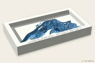 Lake SuperiorGreat LakesSurveyed380.0 m (1,247 ft) deep
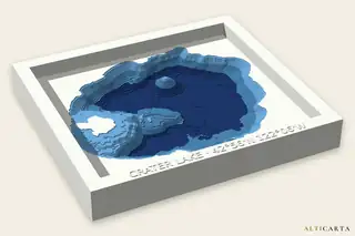 Crater LakeOregonSurveyed590.0 m (1,936 ft) deep
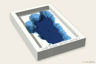 Lake TahoeCalifornia and NevadaSurveyed490.0 m (1,608 ft) deep
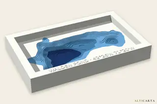 Walden PondMassachusettsSurveyed29.0 m (95 ft) deep
Build one for your room
Open a lake in the Studio and look it over for free. If your school or museum needs something we do not offer yet, write to us at aaron@alticarta.com.