Lake · California and Nevada, USA
Lake Tahoe Surveyed
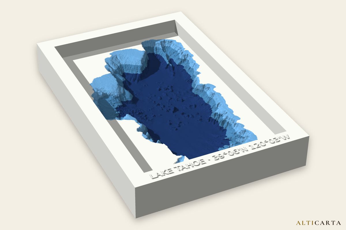
Terrain and water depth files of Lake Tahoe, from real water depths. Depth survey from U.S. Geological Survey. Turn it and size it in the Studio, then download the files your machine uses.
Deepest point
Surface area
Depth levels
Where
What your machine gets
- 3D printerSTL, OBJ and 3MF with painted color, of the smooth lakebed
- CNC router8 and 16-bit heightmaps, STL and OBJ, and the frame text to V-carve
- LaserSVG and DXF sheets that stack, up to 55, from depths between soundings, with a LightBurn project and an assembly guide
- Craft cutterA cut file of up to 55 layers, from depths between soundings: SVG for Cricut, DXF for Silhouette, plus a stencil and an assembly guide
- UV printerA color picture and a raised texture picture that line up, at 300 dpi, with a blank to print
- FrameA raised frame with the name and coordinates embossed
Where the depths come from
Surveyed
Lake Tahoe bathymetry: U.S. Geological Survey. Gardner, J.V., and Dartnell, P., 2001, 2000 Multibeam sonar survey of Crater Lake, Oregon: Data, GIS, images, and movies: U.S. Geological Survey Digital Data Series 72, https://doi.org/10.3133/ds72; Gardner, J.V., and Dartnell, P., 1999, Sea-floor images and data from multibeam surveys in San Francisco Bay, Southern California, Hawaii, the Gulf of Mexico, and Lake Tahoe, California-Nevada: U.S. Geological Survey Digital Data Series 55, https://doi.org/10.3133/ds55. Public domain (U.S. Government work).
Shoreline: HydroLAKES (Messager, M.L., Lehner, B., Grill, G., Nedeva, I., Schmitt, O. (2016). Estimating the volume and age of water stored in global lakes using a geo-statistical approach. Nature Communications, 7: 13603. https://doi.org/10.1038/ncomms13603), licensed under CC BY 4.0.
Depths are for display, not for navigation.
Near Lake Tahoe
Lakes
- Goose LakeEstimated · 7.9 m (26 ft) deep · about 315 km (195 mi) away
- Crater LakeSurveyed · 590.0 m (1,936 ft) deep · about 462 km (287 mi) away
- Owyhee ReservoirEstimated · 36.0 m (118 ft) deep · about 537 km (333 mi) away
Peaks
- Mount Tallac2,968 m (9,738 ft) · about 4.7 km (2.9 mi) away
- Slide Mountain2,957 m (9,701 ft) · about 9.9 km (6.2 mi) away
More lakes in California and Nevada
All California and Nevada lakes with a page here, or browse every place.