Lake · Montana, USA
Lake Helena Surveyed
Open in the Studio$5 one time, or part of a plan. The preview is free.
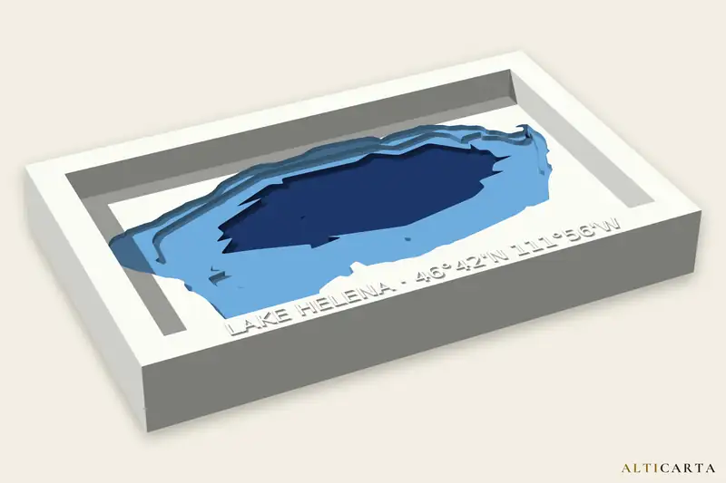
Terrain and water depth files of Lake Helena, from real water depths. Depth survey from Montana Fish, Wildlife & Parks. Turn it and size it in the Studio, then download the files your machine uses.
Deepest point
3.7 m (12 ft)
Surface area
7.02 km² (2.71 sq mi)
Depth levels
6
Where
46.69538° N, 111.92951° W
What your machine gets
- 3D printerSTL, OBJ and 3MF with painted color, stepped like a chart or smooth
- CNC router8 and 16-bit heightmaps, STL and OBJ, its depth levels as flat drawings to carve one at a time, and the frame text to V-carve
- LaserSVG and DXF sheets that stack, up to 7, with a LightBurn project and an assembly guide
- Craft cutterA cut file of up to 7 layers: SVG for Cricut, DXF for Silhouette, plus a stencil and an assembly guide
- UV printerA color picture and a raised texture picture that line up, at 300 dpi, with a blank to print
- FrameA raised frame with the name and coordinates embossed
Where the depths come from
Surveyed
Lake Helena bathymetry: Montana Fish, Wildlife & Parks.
Depths are for display, not for navigation.
Near Lake Helena
Lakes
- Hauser LakeSurveyed · 19.8 m (65 ft) deep · about 8.7 km (5.4 mi) away
- Canyon Ferry ReservoirSurveyed · 51.8 m (170 ft) deep · about 33 km (20 mi) away
- Nevada ReservoirSurveyed · 19.8 m (65 ft) deep · about 67 km (42 mi) away
More lakes in Montana
All Montana lakes with a page here, or browse every place.